Zabul
Information Zabul
Zabul is a mountainous province in southern Afghanistan, bordering Pakistan, with its capital at Qalat. As of early 2022, it has an estimated population of over 511,000, primarily composed of Pashtun tribes (Tokhi, Hotaki) and largely reliant on agriculture and livestock.
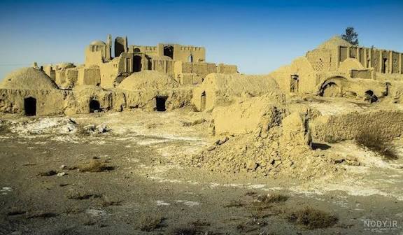
The region is historically significant and rural, featuring a dry, arid climate and significant challenges regarding development and security.
Key Details About Zabul Province
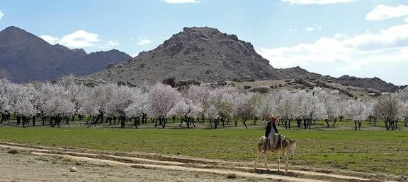
• Geography and Climate: Zabul covers an area of roughly 17,300 square kilometers, characterized by mountainous terrain (41%) and a dry, windy climate. It features two main rivers, the Arghandab and the Tarnak, which facilitate farming in nearby villages.
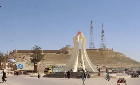
• Administrative Structure: The province is divided into 11 districts, with Qalat serving as the administrative center.
• Population and Economy: The population is predominantly rural and Pashtun, living in approximately 2,500 villages. Agriculture (wheat, almonds, grapes, apricots) and animal husbandry are the primary livelihoods, though the area has suffered from, and is vulnerable to, severe droughts.
• Security and Development: Zabul has historically been described as one of the least developed provinces, with limited government infrastructure and, prior to 2021, intense insurgent activity. It is considered a major hub for Taliban support.
• Key Issues: The region faced high levels of humanitarian need, with a high proportion of internally displaced persons (IDPs) and returnees.
Districts of Zabul
The province includes 11 districts: Qalat (capital), Shamul Zayi, Daychopan, Mizan, Kakar, Shinkay, Atghar, Shah Joi, Nawbahar, Tarnak Wa Jaldak, and Arghandab.
Historical Significance
Known in ancient times as part of the Zabulistan region, the area was once a center for Zunbils and later saw Buddhist influence, as recorded by the traveler Xuanzang, who described numerous monasteries in the region.