Sarapul
Information Sarapul
Sar-e Pol Province, located in northern Afghanistan, is a mountainous region with a population of approximately 532,000-632,000 as of recent estimates, covering an area of 16,360 km².
Created in 1988, its capital is the city of Sar-e Pol, with a multi-ethnic population including Uzbek, Tajik, Pashtun, and Hazara, and is known for agricultural production and potential natural resources.
Geography and Climate
• Location:
Situated between the central highlands and northern Turkmen plains.
• Districts:
Divided into 7 districts: Balkhab, Gosfandi, Kohistanat, Sangcharak, Sar-e Pol (center), Sayyad, and Sozma Qala.
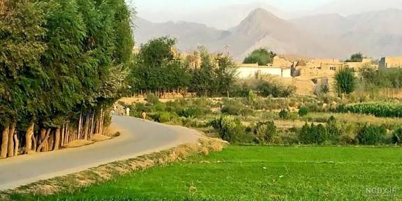
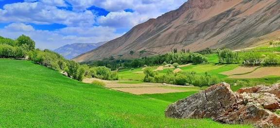
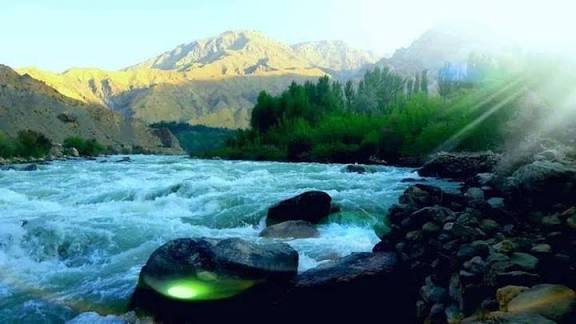
• Terrain:The southern part is heavily mountainous.
• Climate:
The province is known for having good weather in specific areas, such as the Pala Valley, which attracts tourists.
Demographics and Society
• Population: Estimated at over 532,000 (2013-2016).
• Languages: Dari (Persian) is dominant, followed by Uzbeki and Turkmen.
• Lifestyle: Largely a rural, tribal society with roughly 74% of the population living in rural areas.
• Media:
Local media operates under strict guidelines, with women working in the sector, as noted in 2021,, following the change in administration.
Economy and Infrastructure
• Agriculture: A primary economic driver, with production of grapes and other fruits, recently celebrated in local festivals.
• Infrastructure: The city of Sar-e Pol is connected by road to Sheberghan to the north and Maimana to the southwest.
• Development: Efforts are underway to improve roads and infrastructure in tourist-friendly, historical areas.
History
• Historical Control: Ruled by the Khanate of Bukhara (16th-18th century) before becoming part of the Durrani Empire in 1750.
• Recent History: The province was captured by the Taliban in 1998 during the Afghan Civil War.
Key Sites
• Imam Yahya Shrine: A notable site located in the capital city.
• Pala Valley: A popular destination for recreation and tourism.