Jalalabad
Information Jalalabad
Jalalabadis not a Province itself but is the capital city of Nangarhar province in eastern Afghanistan.
Strategically located between Kabul and the Pakistani city of Peshawar, it serves as a major trade and cultural hub.
Nangarhar
• Location:
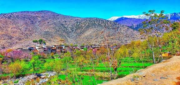
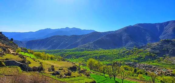
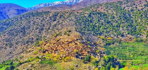
Situated at the junction of the Kabul and Kunar rivers, approximately 130 km (80 miles) east of Kabul and 65 km (40 miles) west of the Torkham border crossing with Pakistan.
• Population:
The city of Jalalabad has an estimated population of 318,733 as of 2025. The wider Nangarhar Province has a population exceeding 1.7 million.
• Climate:
Known for its hot desert climate (BWh), Jalalabad is one of the hottest localities in Afghanistan. Because of its mild winters, it historically served as the winter capital for Afghan rulers.
Economy and Industry:
• Agriculture:
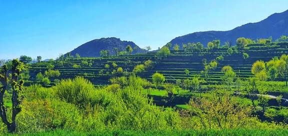
The region is a leading producer of citrus fruits (oranges, lemons, grapefruits), sugarcane, dates, olives, and pomegranates.
• Trade:
Due to its proximity to the Torkham border, it is a vital center for trade between Afghanistan, Pakistan, and India.
• Manufacturing:
Local industries include food processing (sugar refineries, olive oil), paper making, and steel mills.
Infrastructure and Landmarks
• Education:
Home to Nangarhar University, Afghanistan's second-largest university, founded in 1963.
Transport:
• Jalalabad Airport:
Located 5 km southeast of the city center; serves as a domestic airport for civilian and military use.
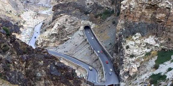
• Roads:
Connected to Kabul via the Kabul-Jalalabad Road, frequently cited as one of the world's most dangerous due to its mountainous terrain and high traffic.
Cultural Sites:
• Mausoleum of King Amanullah Khan: Located in Siraj-ul-Emarat Park.
• Hadda Museum:
An archaeological site south of the city featuring Greco-Buddhist artifacts.
• Cricket:
Widely considered the "capital of Afghan cricket," the city features the Ghazi Amanullah International Cricket Stadium, the country's first international-standard stadium.