Kapisa
Information Kapisa
Kapisa is the smallest of the 34 provinces of Afghanistan by land area, covering approximately 1,842 square kilometers. Located in the northeastern part of the country, about 80 km from Kabul, it is one of the most densely populated regions outside the capital.
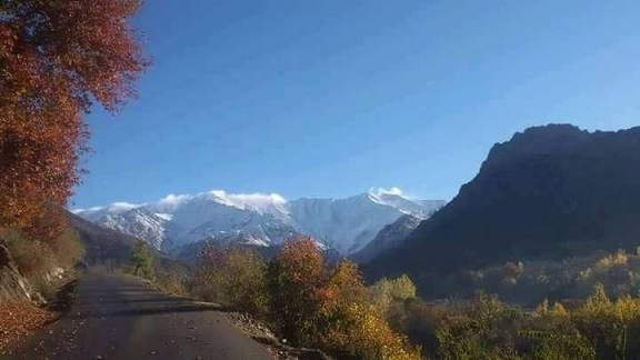
Kapisa is bordered by Panjshir to the north, Laghman to the east, Kabul to the south, and Parwan to the west. Its terrain includes the high peaks of the Hindu Kush foothills in the northeast and flatter, rocky river valleys in the southwest.
The province is divided into seven districts:
• Alasay
• Hesa Awal Kohistan
• Hesa Duwum Kohistan
• Koh Band
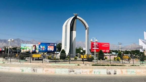
• Mahmud-i-Raqi (Provincial Capital)
• Nijrab (Most populous district)
• Tagab
Demographics & Culture
• Ethnic Groups: Primarily Tajik, with significant populations of Pashtun, Pashayi, and smaller groups of Nuristani and Hazara.
• Languages: Dari (Persian) and Pashto are the official languages, while Pashayi is also widely spoken.
• Education: Home to Al-Beroni University in Kohistan, which offers programs in medicine, engineering, law, and agriculture.
Economy & Infrastructure
• Agriculture: The primary source of income for roughly 62% of households. Major crops include wheat, maize, barley, and various fruits such as grapes and pomegranates.
• Industry: Historically known for the Gulbahar Textile Factory, though its production has faced significant damage during past conflicts.
• Recent Developments (2025):
• Infrastructure: In late 2025, four major projects totaling 700 million Afghanis were launched, including the reconstruction of roads in Tagab and Nijrab districts.
• Energy: In December 2024, an agreement was signed with a Chinese firm (MCC) to conduct feasibility studies for the Baghdara Dam, which aims to generate 250-300 MW of electricity.
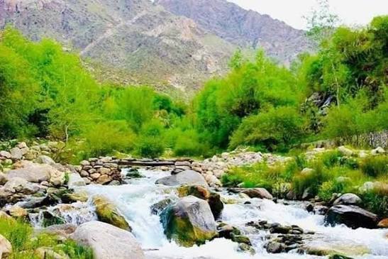
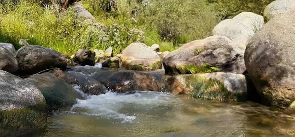
Katural attractions of Kapisa Province:
1.Kijrab valley
2.Nijrab waterfalls
3.Hindu kush mountains
4.Sayad recreayional area
5.Rive valleys and rural paths